The Greatest danger to our Watershed? Poor City Planning
The Greatest danger to our Watershed? Poor City Planning
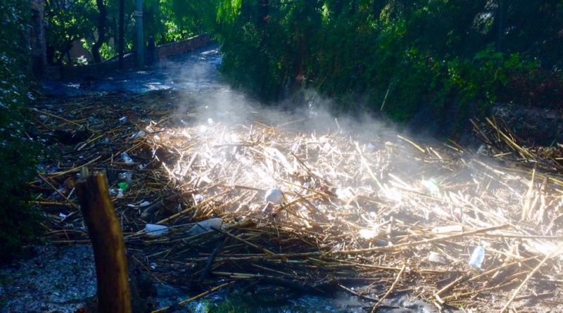
Early in the morning of Monday, June 1st, San Miguel de Allende experienced a dramatic storm. Houses, businesses and property were damaged. Streets were washed out. Rooves collapsed. Over 2 meters of ice, water, and mud blocked Calle Santo Domingo. The hail was still piled up around the Luciérnaga 2 days later. It was an unusually heavy storm.
Or was it?
Not really. We had 12 cm of rain in two hours on Monday morning. It is not unheard of to have up to 24 cm. There was a surprising amount of hail, but damage was mostly done by excess water, not ice. This was actually a very typical summer storm.
In order to understand why it was so destructive, we need to look at the geography of the area and how we have affected it with poor planning and lack of environmental awareness.
San Miguel forms part of the Sub Cuenca Támbula Picachos watershed. Starting in the Picachos mountains, runoff flows right through the center of town via the arroyo Atascadero into the Presa Allende. In the past, even in the heaviest of storms, property was rarely damaged as much of the water was absorbed; the Atascadero and the land above it acting as a natural sponge and buffer zone. However, recently we have been covering that land with cement and stone for new developments, housing and industrial parks. The water that would have been absorbed, hundreds of cubic meters, now flows right into town.
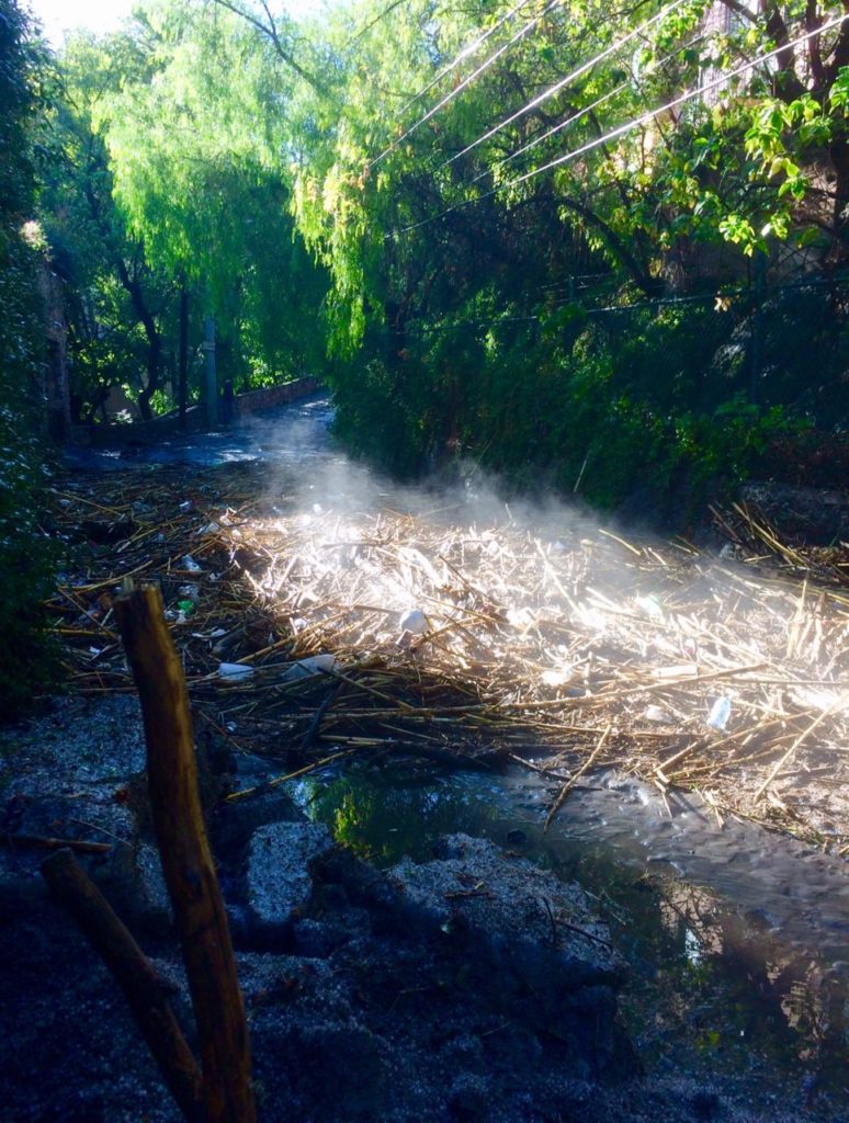
This effect was first noticed when the Luciérnaga Mall was built about a decade ago. After cementing over approximately 100,000 square meters to build the mall, estimates of the increased water flow through the Atascadero Arroyo were as high as 73%. Since then, the municipality has continued to authorize new development in the area. We do not have recent studies, but there is no doubt that the flow of water has only increased as a result of this building, almost certainly setting us up for even more serious flooding that could threaten both property and lives. It also threatens the very developments that are causing the problem. The increased water can potentially wash out the soil underneath, a scenario which has caused building collapse at sites all over the world, such as in Santa Fe, CDMX. It is in everyone’s interests to resolve the situation.
We at the Observatorio Ciudadano have two suggestions on how to prevent the loss of life and property that will inevitably come of we do not care for our watershed.
Firstly, it is imperative that the municipality finalize zoning regulations that will not only require environmental studies for all new development, but that will ensure that those studies are acted upon.
Secondly, it is just as imperative that we restore the Atascadero to a state where it can more easily and efficiently absorb rain water and run off. A few weeks ago, we wrote about the successful river restoration and reforestation in the community of Doña Juana. We would like to see a similar project in the Atascadero where developers, government and citizens come together for the good of all.
Sanmiguelenses are justly proud of our Cultural heritage and make great efforts to preserve it. We need to make the same efforts to preserve our Environmental heritage.
Thanks to Roger Jones of Regeneration International, Susana Alonso of Preservación San Miguel, Henry Miller, founder of El Maíz Más Pequeño, and Dr Pablo Jaramillo, of the UNAM Morelia for sharing their experiences, knowledge, and expertise.

Thank you for all this valuable information. This is the first time I’ve gotten this newsletter, and I want to make sure I’m on the mailing list.
Hi! We don’t have a mailing list. This is a website. If you follow us on Facebook we always post new articles there or you can just check in here every couple of weeks or so. Thanks for your interest!